HARROW & WEALDSTONE

KENTON

SOUTH KENTON

NORTH WEMBLEY

WEMBLEY CENTRAL

STONEBRIDGE PARK

HARLESDEN

WILLESDEN JUNCTION

KENSAL GREEN

QUEEN'S PARK

KILBURN PARK

MAIDA VALE

WARWICK AVENUE

PADDINGTON

EDGWARE

MARYLEBONE

BAKER STREET

REGENT'S PARK

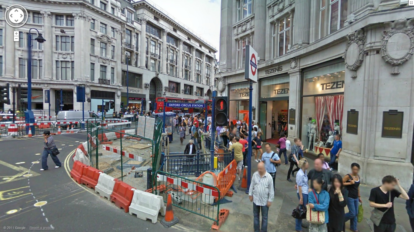
OXFORD CIRCUS
PICCADILLY CIRCUS

CHARING CROSS

EMBANKMENT

WATERLOO

LAMBETH NORTH

ELEPHANT & CASTLE
